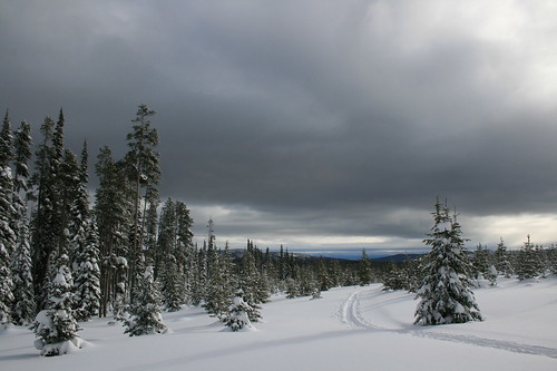
Over the weekend, we decided to check out the cross-country ski trails at Chief Joseph Pass, south of Hamilton where the Continental Divide sidles up to the Idaho-Montana border, for the first time.
With 5 1/2 feet of snow on the ground and a fresh dusting of powder, it was worth the 95-mile drive.
There were a handful of vehicles and people in the parking lot when we arrived, but on the trail we found ourselves mostly on our own.
The Bitterroot Cross Country Ski Club maintains a network of 24 kilometers of well-marked, groomed trails that are easy to link together into loops of varying lengths.
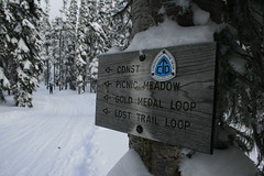
Never having skied at Chief Joseph before, we chose to start on the Continental Divide Trail.
About half a mile in, on the edge of Picnic Meadow, we caught a glimpse of a "snowbow" arcing over the Gordon Reese Cabin. After a brief stop to check out the cabin, we skied up and down, through lodgepole pine forest and meadows along Broadway, the Gold Medal Loop, Timber, Solitude and the Vista View Loop. For a while, the sun was shining through breaks in the clouds, and despite the noise of wind, it was never too blustery.
After another stop at the cabin, the sky turned gray and we skied back to the trailhead via Moose and the Lost Trail Loop, shy of 7 miles and satisfied.
See photos from Chief Joseph Pass here.
Distance: About 6 3/4 miles. (24 kilometers of groomed trails available, with more ungroomed terrain.)
Directions: The Chief Joseph Pass trailhead is about 47 miles south of Hamilton on U.S. Highway 93, then 1 mile east on Montana Highway 43.