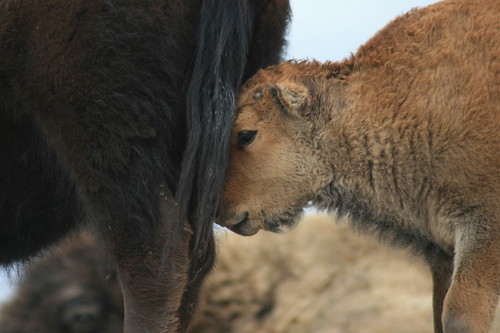
We recently returned from a weeklong vacation and visit to friends and family in Utah and Colorado, which also marked my return to hiking since injuring my Achilles tendon over the winter.
A brand-new car packed, we started our trip seeing friends in Salt Lake City and camping and hiking around Moab, Utah. The last time we were in Moab, flash floods drove us to a hotel and then out of the area - this time, we
camped for a couple of nights, and found lodging for another. While there, we got into the redrocks in Arches and Canyonlands national parks and on some Bureau of Land Management land. In Canyonlands alone, I traveled about 10 miles of trail in a day - the most since my injury.
A snowy drive took us to Denver and more friends and family, then we traveled the long road home.
Below are the hikes we took in Utah.
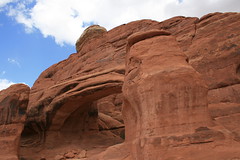
Corona Arch
 Corona Arch
 is the first hike Jen and I went on aside from walking our dog Gigi in the Missoula area.
After parking just off the highway, the trail ascends through the redrocks to the northeast, across a rail line, up a wash and then up a couple of ladders to a slickrock area at the base of cliff. Just before reaching the massive Corona Arch - with its 140-by-105-foot opening - Bow Tie Arch is perched high on the rock wall to the north.
Pictures from the Corona Arch trail are
here.
Distance: 3 miles round trip.
Trailhead:On Utah Highway 279, 10 miles west of its junction with U.S. Highway 191 just northwest of Moab.
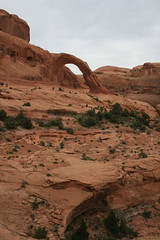
Arches National Park: Tower Arch
Having hiked almost all of the established trails in
Arches National Park, we decided to take a longer drive out the Salt Valley to the Klondike Bluffs and Tower Arch. The trail travels west up through the rocks, then down a valley and up again through redrock fins to the robust Tower Arch.
Photos from Arches are
here.
Distance: 3.4 miles round trip.
Trailhead: From the park entrance northwest of Moab, travel about 12 miles north on the main road, five miles northwest past the Fiery Furnace area, then 8.3 miles south, northwest and south again to the Klondike Bluffs trailhead.
Canyonlands National Park: Neck Spring
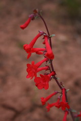
A
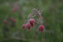
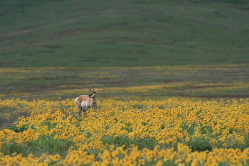
Canyonlands National Park ranger told us the Neck Spring trail would have an abundance of foliage due to its moisture, and she was right - plenty of desert wildflowers in spring.
After dropping down from the Island in the Sky mesa, the trail loops west then east through two spring areas. Water was trickling when we were there, but I wouldn't count on it in summer. The trail then climbs out of the canyon and onto slickrock, crosses the main park road in the area and returns to the start.
See photos from Canyonlands
here.
Distance: 5.8-mile loop.
Trailhead: Travel about 11 miles northwest of Moab on U.S. Highway 191, then about 20.5 miles southwest and south on Utah Highway 313 to the Island in the Sky Visitor Center. The trailhead is 0.4 miles south of the visitor center.
Canyonlands: Murphy Point
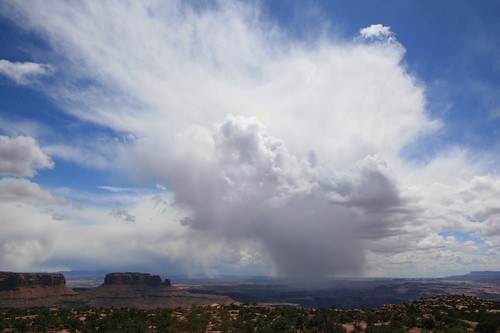
The trail to Murphy Point has to be one of the straightest lines I've ever walked. From the main road, it travels southwest for 1.8 miles until it reaches Murphy Point - don't turn off for Murphy Hogback. The views extend south and west into canyon country.
See photos from Canyonlands
here.
Distance: 3.6 miles round trip.
Trailhead: Travel about 11 miles northwest of Moab on U.S. Highway 191, then about 20.5 miles southwest and south on Utah Highway 313 to the Island in the Sky Visitor Center. The trailhead is 9.8 miles south of the visitor center.