I spent a lot of time in the Rattlesnake National Recreation Area and Wilderness this past summer, so it was only fitting that when we chose a place to hike two days before the 50th anniversary of the Wilderness Act it was there.
While the Rattlesnake is Missoula's backyard, accessed by most from the main trailhead on the north edge of the city, we hiked to Boulder Lake from the more remote West Fork of Gold Creek to the northeast and saw only two other people all day. The rough drive into the trailhead likely accounts for the decreased use - it's the only time the traction control light in our SUV has turned on on a dry road.

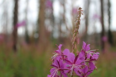
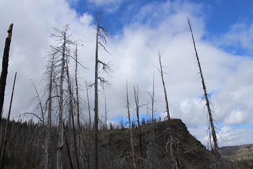
Once there, we hiked north on Trail 333 through an old burn, the Mineral Peak lookout visible to the south through the remaining snags and tall stalks of fireweed. The trail rose and fell gradually, crossed a couple of creeks, then entered forest just before a junction at 2 1/2 miles.
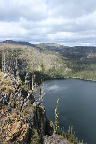
Continuing on Trail 333 to the northwest, we climbed a burned ridge, passing the wilderness boundary at 3 3/4 miles. From there, the trail continued up to a saddle below 7,293-foot Boulder Point. A short distance higher, we hiked a 1/4-mile side trail to the point, where we found the remains of lookout and views 800 feet down to the lake, north to the Mission Mountains and northeast the the Swan Range.

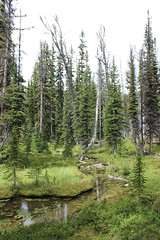
After returning to Trail 333, we continued up into the forest and a junction at 5 miles. Here, we followed the final steep switchbacks down 1 mile along a creek and past a marshy area, then down more to the lake shore and the point looming to the west.

After eating some food and letting the dogs swim and sniff around some moose tracks, we climbed up from the lake and hiked back to our car.
In Missoula, we truly are lucky to have treasures such as the Rattlesnake Wilderness - and the Selway-Bitterroot, Mission Mountains and Bob Marshall - so close.
Here are more photos from Boulder Lake.
Distance: 12 1/2 miles round trip, including 1/2 to Boulder Point and back.
Trailhead: From Bonner, drive about 8 3/4 miles east on Montana Highway 200, then turn northwest on Gold Creek Road, also known as Forest Road 126, and follow it 6 miles. Turn northwest on Forest Road 2103 and continue 5 miles, then turn onto Forest Road 4323 and continue 5 rough miles northwest to the West Fork Gold Creek trailhead.