To beat the heat last Sunday, we took the dogs on a hike to to a trio of lakes that lie just below 10,157-foot Trapper Peak, the highest in the Bitterroot Mountains. The trail to Baker, Middle and Gem lakes is short and steep, but worth the view.

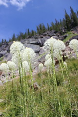
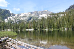
The trail begins uphill to the south of the parking area, then switchbacks steeply west to Boulder Point at a little less than half a mile. After a short section through the forest, the trail crosses a south-facing slope, descending slightly and passing through several open stretches filled with beargrass. The trail then climbs into the forest to Baker Creek, where fallen trees block the way. From here, it's easiest to walk uphill over the flat rock along the creek to the shore of Baker Lake at about 1 1/2 miles. Several campsites are available here, and Trapper Peak stands above the drainage to the west.

Rounding the lake on either side - we went north, through a small boulder field - the trail continues along a marshy stretch of creek though the forest about another mile to Middle Lake, entering the Selway-Bitterroot Wilderness along the way.

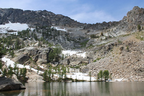
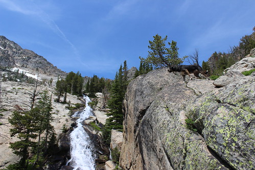
From Middle Lake, the trail stays north of the creek and rises steeply out of the forest onto more flat rock and along a cascade about 1/3 of a mile to Gem Lake. The clear pool of water sits with snow at its edge even in July, with the false summit of Trapper Peak directly above it to the west. The water was so cold, in fact, that the dogs opted not to swim at Gem.
After a short break - mostly spent swatting at mosquitoes - we made our way back downhill to the trailhead.
Here are more photos from Baker, Middle and Gem lakes.
Distance: 5 1/2 miles round trip.
Trailhead: From Darby, drive about 4 1/3 miles south on U.S. Highway 93 and turn onto West Fork Road. Follow West Fork Road south for 7 miles, then turn northwest onto Pierce Creek Road. (While this turn is listed as being signed in guidebooks and on websites, we found none; the road is adjacent to mile marker 7 and has fenced pastures on each side.) Drive uphill northwest through an intersection; at a second intersection about one mile up, continue northwest as directed by a sign 9 miles to the Baker Lake trailhead.