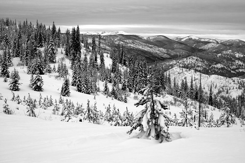
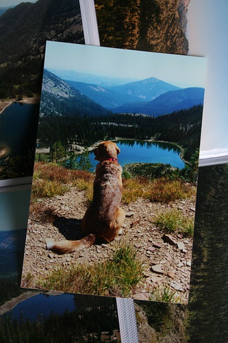
Shortly before Christmas, we noticed an airfare sale between Missoula and the Phoenix area, and knowing family would be there in January we bought some tickets. At that point, western Montana's winter had been fairly mild and offered little opportunity for any real recreation in the snow, so we were glad to go south to the Sonoran Desert.
While Phoenix is a sprawling city, there are plenty of opportunities to get out. And while based west of the urban area, we also took short trips to Tucson and into the Superstition Wilderness.
Saguaro National Park: Wasson Peak
There are several trailheads in Saguaro National Park's western unit that provide access to Wasson Peak, the highest in the Tucson Mountains at 4,687 feet. Several years ago - on our first visit - we hiked up via the Sendero Esperanza Trail, which begins along an unpaved road. This time, we used the King Canyon Trail just off a paved road east of the park's Red Hills Visitor Center.
For the first mile, follow the official trail along an old Civilian Conservation Corps road or walk up the King Canyon Wash northeast to a junction near the Mam-A-Gah picnic area.
From the junction, the trail climbs northeast up a saguaro cactus-covered slope for nearly a mile and a half to another intersection that overlooks the city. Turn northwest here and hike for nearly a mile up and across a steep mountainside to a junction with the Hugh Norris Trail at a saddle below Amole Peak. From here, it's a quick third of a mile out a ridge and up the final steps to Wasson Peak.
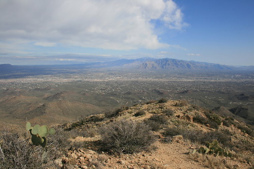
Wasson provides views across Tucson to the Tortolita and Santa Catalina mountains to the northwest, the Rincon Mountains to the east and the Santa Ritas to the south.
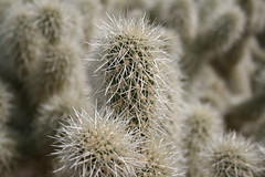
To return to the King Canyon trailhead, we made a loop via the Hugh Norris and Sendero Esperanza trails. From the junction at the saddle, follow the Hugh Norris west past Amole Peak and down the ridge nearly 2 miles. At the Sendero Esperanza junction, turn southeast and continue about a mile and a half past cholla cactuses and an old mine back to the Mam-A-Gah picnic area.
From here, it's about a mile back down the trail or wash to the parking area.
See more photos from our Wasson Peak hike here.
Distance: 8 miles.
Trailhead: The King Canyon trailhead is 2 miles east of Red Hills Visitor Center on Kinney Road in the western unite of Saguaro National Park. (The park entrance fee is $10 per vehicle, payable at the visitor center.)
White Tank Mountains: Ford Canyon to Mesquite Canyon
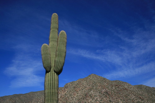
Located on the western edge of Phoenix's suburbs, White Tank Mountain Regional Park was closest to where we stayed for the majority of our visit.
From the parking lot at picnic area 9, walk northeast from the trailhead sign down through a wash then up to the Ford Canyon Trail. Turn northwest and follow the trail to the canyon through a saguaro- and cholla-covered flat past junctions with the Ironwood and Waddell trails.
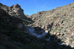
After about 1.75 miles, the trail begins to ascend Ford Canyon through white granite boulders and a wash, and leaving views of the urban area behind. The path climbs up a couple of granite walls and a dam, then leaves the wash at about 4 miles.
The trail continues south up grassy slopes, over a ridge and down into Willow Canyon, where ocotillo are more abundant, to a junction at 5.5 miles. Switchback uphill to a junction at nearly 6.5 miles and turn northeast onto the Mesquite Canyon Trail.
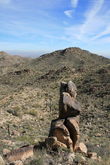
The Mesquite Canyon trail continues around a ridge then downhill to the Willow Canyon junction at nearly 8 miles. Here, the trail drops back through a white granite canyon about 1.7 miles to the valley floor near picnic area 7.
Follow the Waddell Trail north about a mile to Ford Canyon, then southeast nearly two-thirds of a mile back to the parking area.
More pictures from the White Tank Mountains are here.
Distance: 11.2 miles.
Trailhead: From Interstate 10 in Goodyear, Ariz., west of Phoenix, take Arizona Highway 303 about 7.2 miles north to Olive Avenue. Follow Olive 4.5 miles west to the entrance of White Tank Mountain Regional Park ($6 per car). The trail begins across from the parking lot at picnic area 9.
Superstition Wilderness: Boulder Canyon and LaBarge Canyon
The final hike of our trip was probably our favorite. The route up Boulder and LaBarge canyons in the Tonto National Forest's Superstition Wilderness provides scenic views of cliffs and cactuses, as well as an off-trail segment.
The hike begins on the south side of Arizona Highway 88, across from Canyon Lake Marina. The Boulder Canyon Trail steadily climbing a hill southeast to the wilderness boundary marker at about half a mile.
At about 1.25 miles, the trail reaches its high point and offers views up Boulder and LaBarge canyons to the squared-off Battleship Mountain and Weaver's Needle in the distance. The trail drops slightly, then rounds a hill and passes an orange, rocky outcrop. Up a hill to about 2.2 miles, the route reaches another viewpoint into the canyons ahead.
From here, the trail descends switchbacks past saguaros and barrel cactuses to the canyon floor, crossing LaBarge Creek at about 3.3 miles. Begin walking up the creek bed - it was mostly dry when we were there but likely flows at other times of the year - here or cross and join it by leaving the trail after a small rise near a campsite.
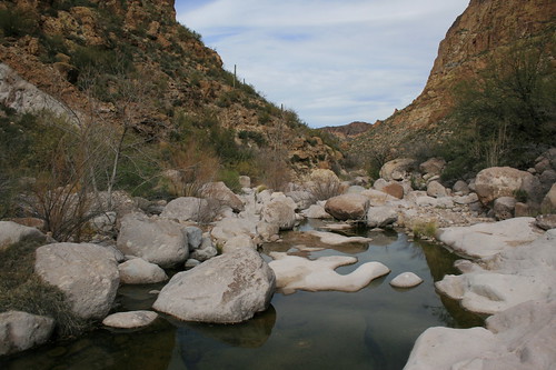
Once in the creek bed, follow cairns upstream to the south between Battleship Mountain on the west and Geronimo Head to the west, aiming for the triangular summit ahead. Boulder hopping up the creek bed was the most strenuous part of this hike, and we eventually reached a few sections of slowly flowing water that we had to cross.
About 1.2 miles upstream, a box canyon begins with high walls and a spire and pool at its mouth. Stop here to rest and explore the start of the slickrock canyon.
To continue, look for cairns starting under the trees at a campsite on the western edge of the pool that mark a route up to the saddle between the canyon and Battleship Mountain. The climb is not too steep and the cairns are easy to follow, and the saddle provides another view of Weaver's Needle.
Once over the saddle, continue following the cairns downhill to Boulder Creek, crossing it - again, dry when we were there - and reconnecting with the trail on the other side.
The Boulder Canyon Trail travels north, crossing the creek back and forth past a large pool and Battleship Mountain on the east, then the Second Water Trail on the west.
After crossing the creek bed a final time, the trail climbs a saddle past an old mine and drops to the campsite and LaBarge Creek at 3.3 miles from the start. Follow the route back up to its high point, then down to the trailhead near the marina.
Boulder and LaBarge canyon photos are here.
Distance: 10.5 miles.
Trailhead: From U.S. Highway 60 in Apache Junction, east of Phoenix, drive 2.25 miles north on Idaho Road to Arizona Highway 88. Follow Highway 88 northeast 14 miles to the Canyon Lake Marina. (Park in the trailhead parking facing the fence that parallels the highway.)
